

02 Oct Earthquake
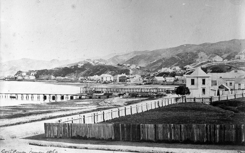
When Surveyor-General, Captain William Mein Smith, drew up plans for Wellington in 1840, a stream linked the harbour to a lagoon that he simply labelled ‘Basin’. Smith’s intention was for this Basin to become a safe harbour for ships, accessed through a canal to the harbour. Over the next fifteen years the city continued to develop around Smith’s Basin as people from around the world moved to the new colony.
Then, in 1855, an earthquake changed everything. At 9.11pm on January 23, an earthquake, estimated at a magnitude of 8.2, struck. Centred in the Wairarapa, the quake had a profound effect on Wellington’s landscape, creating a new shoreline which increased the city’s footprint and made the Hutt Valley more accessible. It also saw the land through Te Aro rise by about 1.5m metres, turning Smith’s Basin into a swamp.
Sorry, the comment form is closed at this time.